Hare Tor Darmoor
Interactive map
GPS track profile
About this GPS track
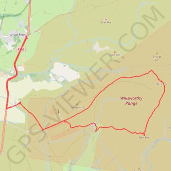
Name: Hare Tor Darmoor GPS track, route, trail
Coordinates: 50.62952 -4.09687 50.64835 -4.04978
Other GPS tracks
Click on a GPS track to view route, its statistics and profile.
Tour de la petite Manche Angleterre
Royaume-Uni > Angleterre > Plymouth
Vélo. En aller simple entre Plymouth et Weymouth. #Vélo
Distance: 273.9 Km • Elevation gain: 4,094 m • Maximum elevation: 297 m
TT22 Jo11 J9/06 : Cheddar à Plymouth Ferry Terminal
Royaume-Uni > Angleterre > Somerset > Cheddar
Distance: 268.2 Km • Elevation gain: 4,170 m • Maximum elevation: 458 m