Randonnée du Guadjara (Ténérife)
Interactive map
GPS track profile
About this GPS track
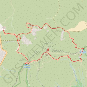
Name: Randonnée du Guadjara (Ténérife) GPS track, route, trail
End: La Orotava, Santa Cruz de Ténérife, Îles Canaries, Espagne (28.22380 -16.62720)
Coordinates: 28.21355 -16.62720 28.22592 -16.59971
Other GPS tracks
Click on a GPS track to view route, its statistics and profile.
LONG TRAIL GR - 131 TENERIFE (CANARY ISLANDS) GR131 GR 131|trackspotting.com
Spain > El Rosario > La Esperanza
Distance: 87.7 Km • Elevation gain: 4,437 m • Maximum elevation: 2,404 m
Randonnée du Guadjara (Ténérife)
Distance: 10.7 Km • Elevation gain: 734 m • Maximum elevation: 2,709 m
Trail Planner Map
Distance: 10.2 Km • Elevation gain: 757 m • Maximum elevation: 2,707 m