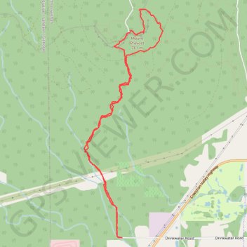
Mount Prevost
North Cowichan Municipal Forest Reserve. Vancouver Island. #Hike #Loop #NorthCowichan #Vancouver
- Distance: 10.8 Km
- Elevation gain: 702 m
- Maximum elevation: 748 m
- Elevation loss: 702 m
- Minimum elevation: 113 m
Interactive map
GPS track profile
About this GPS track
Name: Mount Prevost GPS track, route, trail
Coordinates: 48.80312 -123.77554 48.83573 -123.75847
Other GPS tracks
Click on a GPS track to view route, its statistics and profile.