Baltimore spin
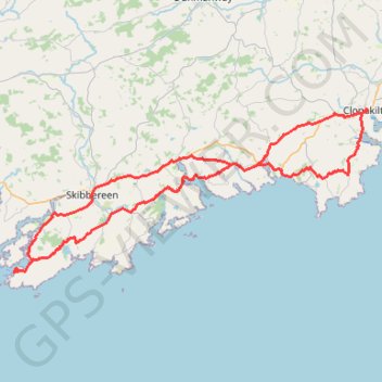
Interactive map
GPS track profile
About this GPS track
Name: Baltimore spin GPS track, route, trail
End: Clonakilty Urban ED, West Cork, County Cork, Munster, P85 Y277, Ireland (51.62278 -8.88483)
Coordinates: 51.48294 -9.37404 51.62325 -8.88348
Topography: County Cork topographic map
Other GPS tracks
Click on a GPS track to view route, its statistics and profile.
Trace IRELAND
Distance: 1,506.7 Km • Elevation gain: 13,359 m • Maximum elevation: 524 m
RT5-1 Rosslare - Kinsale
Distance: 2,860.3 Km • Elevation gain: 27,381 m • Maximum elevation: 420 m
RT5-1 Rosslare - Kinsale
Distance: 3,867.1 Km • Elevation gain: 36,115 m • Maximum elevation: 524 m
RT5-1 Rosslare - Kinsale
Distance: 1,353.5 Km • Elevation gain: 15,245 m • Maximum elevation: 420 m