Black Fort
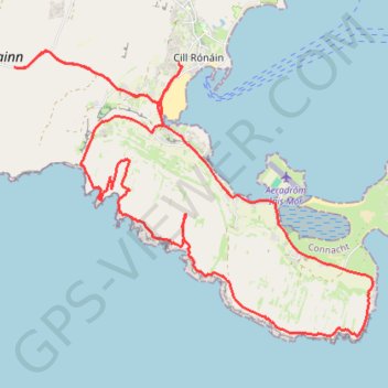
Interactive map
GPS track profile
About this GPS track
Name: Black Fort GPS track, route, trail
Coordinates: 53.08913 -9.70343 53.12089 -9.63699
Other GPS tracks
Click on a GPS track to view route, its statistics and profile.
Trace IRELAND
Distance: 1,506.7 Km • Elevation gain: 13,359 m • Maximum elevation: 524 m
RT5-1 Rosslare - Kinsale
Distance: 2,860.3 Km • Elevation gain: 27,381 m • Maximum elevation: 420 m
RT5-1 Rosslare - Kinsale
Distance: 3,867.1 Km • Elevation gain: 36,115 m • Maximum elevation: 524 m