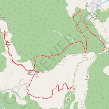
Trasa 013
- Distance: 18.3 Km
- Elevation gain: 1,099 m
- Maximum elevation: 1,446 m
- Elevation loss: 1,086 m
- Minimum elevation: 499 m
- Moving time: 6 h 2 m
- Moving speed: 3.0 Km/h
- Maximum speed: 5.6 Km/h
- Total time: 7 h 30 m
- Global speed: 2.4 Km/h
- Date: 24/07/21
Interactive map
GPS track profile
About this GPS track
Name: Trasa 013 GPS track, route, trail
Coordinates: 42.96210 22.58730 42.99478 22.63774
Other GPS tracks
Click on a GPS track to view route, its statistics and profile.
Tour d'Europe
France > Bretagne > Finistère > Concarneau > Landan Creis
Distance: 7,132.9 Km • Elevation gain: 44,603 m • Maximum elevation: 2,433 m
De Giromagny à Sofia
France > Bourgogne-Franche-Comté > Territoire-de-Belfort > Giromagny
Distance: 1,875.9 Km • Elevation gain: 12,108 m • Maximum elevation: 1,054 m