Franconia Notch State Park. #Hike #Snowshoes #Loop #Forest #River #Nature
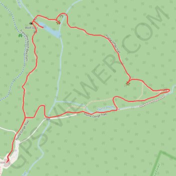
Name: Flume Gorge Loop GPS track, route, trail
Start: Flume Gorge & Visitor Center, 852, Daniel Webster Highway, Lincoln, Grafton County, New Hampshire, United States (44.09710 -71.67993)
End: Flume Gorge & Visitor Center, 852, Daniel Webster Highway, Lincoln, Grafton County, New Hampshire, United States (44.09710 -71.67993)
Coordinates: 44.09710 -71.67993 44.10459 -71.66853
Click on a GPS track to view route, its statistics and profile.
Canada > Quebec > Urban agglomeration of Québec > Quebec
#Bike #Ontario
Distance: 1,078.4 Km • Elevation gain: 4,804 m • Maximum elevation: 209 m