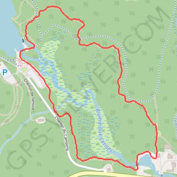
Sentier de la Sittelle
Interactive map
GPS track profile
About this GPS track
Name: Sentier de la Sittelle GPS track, route, trail
Start: P2, Chemin du Camping, Orford, Memphrémagog, Estrie, Québec, J1X 7A2, Canada (45.32824 -72.19391)
End: P2, Chemin du Camping, Orford, Memphrémagog, Estrie, Québec, J1X 7A2, Canada (45.32828 -72.19393)
Coordinates: 45.32273 -72.19613 45.33296 -72.18395
Other GPS tracks
Click on a GPS track to view route, its statistics and profile.