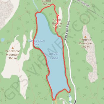
Jordan Pond and The Bubble Loop (Mount Desert Island)
Loop hike around Jordan Pond and to The Bubble via Jordan Pond Path and Bubbles Trail in the Acadia National Park on the Mount Desert Island. #Hike #Loop #Lake #Nature #Forest #Mountain #Park
- Distance: 5.8 Km
- Elevation gain: 209 m
- Maximum elevation: 221 m
- Elevation loss: 209 m
- Minimum elevation: 78 m
- Moving time: 1 h 33 m
- Moving speed: 3.7 Km/h
- Maximum speed: 6.0 Km/h
- Total time: 1 h 39 m
- Global speed: 3.5 Km/h
- Date: 31/05/23
Interactive map
GPS track profile
About this GPS track
Name: Jordan Pond and The Bubble Loop (Mount Desert Island) GPS track, route, trail
Start: Jordan Pond Path, Mount Desert, Hancock County, Maine, 04675, United States (44.32289 -68.25381)
End: Jordan Pond Path, Mount Desert, Hancock County, Maine, 04675, United States (44.32290 -68.25377)
Coordinates: 44.32195 -68.26056 44.34197 -68.24979