Jolley Gulch
Interactive map
GPS track profile
About this GPS track
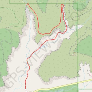
Name: Jolley Gulch GPS track, route, trail
Start: Zion East Entrance parking lot, East Rim Trail, Utah, United States (37.23430 -112.87749)
End: East Rim Trail, Kane County, Utah, United States (37.25196 -112.87716)
Coordinates: 37.23430 -112.87749 37.25236 -112.86636